Garden City Revisited
Revisit the garden city through stewardship, terrain and the first usable phase.
- Study period
- 2024
- Note updated
The research question
The garden city is remembered through green rings and radial diagrams. Its contemporary relevance also depends on stewardship, everyday access and the way a settlement grows. We return to those questions at the edge of an existing place.
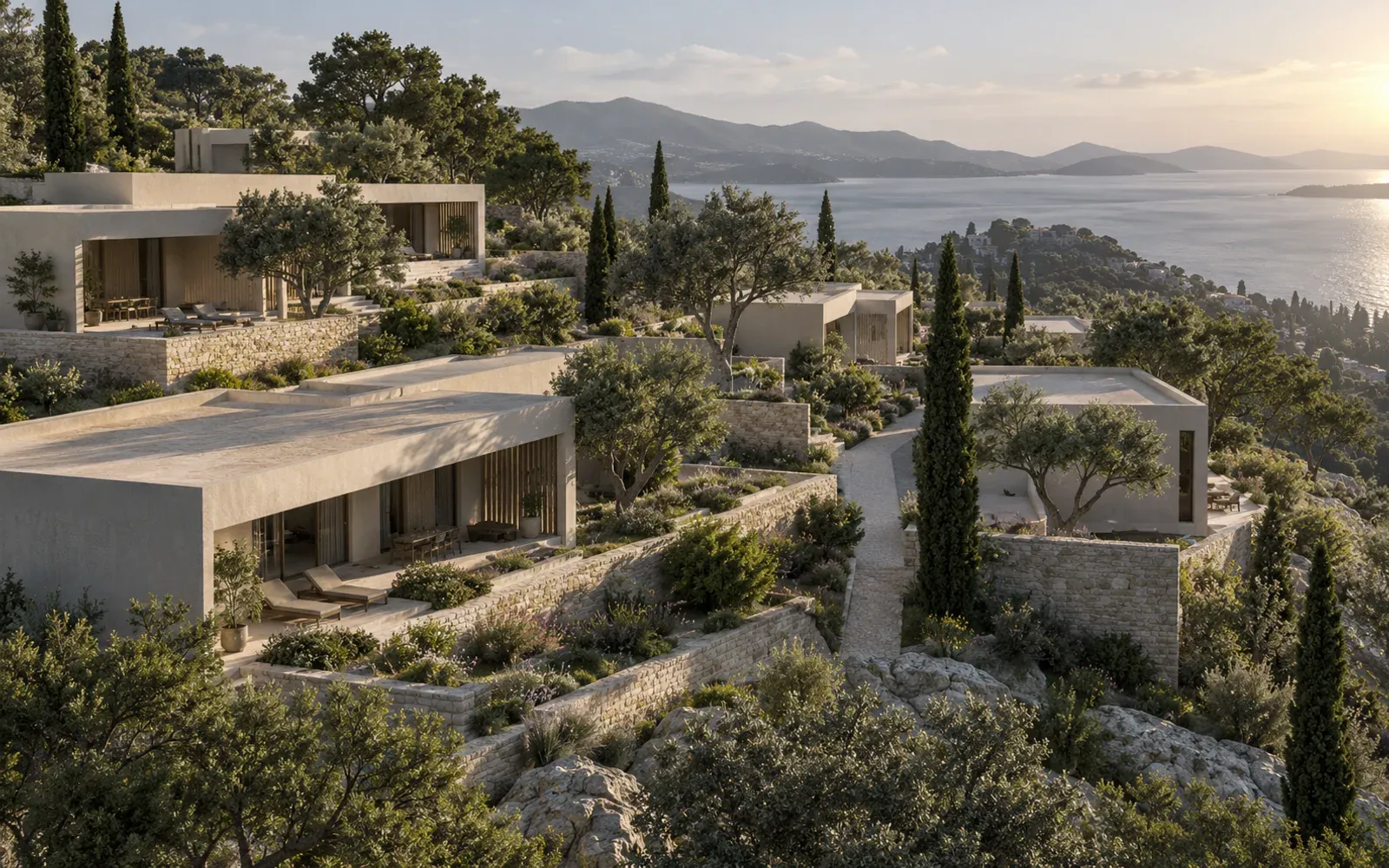
The proposed study keeps the development boundary and programme fixed on sloping terrain. A shared infrastructure spine is combined with routes and blocks that respond to contours and existing paths. A first phase must be examined as a place that people can already use.
We will compare access, servicing, earthworks, shade and the responsibilities attached to shared land. Whether local adaptation improves these conditions is the question to test. Each phase should show what people can use immediately and what depends on later construction.
Read the settlement before it is finished
The first homes share a short access spine and one common space. Later homes and routes remain dashed so their absence is visible.
Schematic contours and an authored phasing proposal. Dashed buildings and routes belong to later stages. This is not a surveyed site, an earthworks estimate or an approved development plan.
Ideas and methods
Howard’s 1902 text and the TCPA principles connect urban form with land, work and transport. They provide a historical and contemporary frame for the study. A contour-following layout still needs a clear account of infrastructure and governance to be evaluated.
Masdar City’s passive-design account connects narrow, shaded streets with orientation to prevailing winds. We take this as a starting point for a phased terrain study: can a person reach everyday destinations along a usable, shaded route before the rest of the settlement is built? The precedent frames a design question; local weather, ownership and servicing still need their own evidence.
Read the sources ↓Current work and the next experiment
- On this page
- A schematic terrain and three construction phases with a common access spine.
- Planned output
- A surveyed site, comparable layouts, earthwork assumptions and a first-phase access and stewardship review.
How we will test it
- Compare the same terrain
- Use one elevation source, boundary and programme. Record contours, sensitive landscape and existing paths before laying out alternatives.
- Draw the infrastructure burden
- Show route lengths, gradients, service access and indicative cut-and-fill areas beside the plan. Keep estimates labelled as such until engineering assumptions are defined.
- Inspect the first phase
- Draw a phase that works before later blocks arrive. Check everyday destinations, shade along walking routes, service access and usable shared spaces. State who would maintain them and which assumptions depend on a later phase.
What remains open
- The terrain drawing is illustrative. Gradients, servicing and earthworks need a documented elevation source.
- A functioning final plan does not establish that its early phases have adequate access or shared space.
- Ownership, maintenance and the development programme need project-specific decisions beyond the site diagram.
Next output
The next output is a comparative terrain atlas with a reference layout, locally adapted alternatives and first-phase diagrams. It will explain the costs of each spatial choice instead of treating organic form as an answer. The study connects historical urban ideas to present decisions about phasing, infrastructure and shared land.
Sources and method notes
- Ebenezer Howard, Garden Cities of To-morrow (1902) ↗
Primary text in its second-edition form; the earlier 1898 book had a different title.
- TCPA: Garden City Principles ↗
Current statement connecting landscape and urban form with stewardship, housing and transport; checked 15 September 2026.
- Masdar City, Sustainable Design ↗
The developer’s account of passive design, shaded streets and orientation to prevailing winds. Used as a design precedent for climate and pedestrian access.