Scan first, design with a checked reference
Room capture becomes useful when its purpose, missing information and export checks stay with the model.
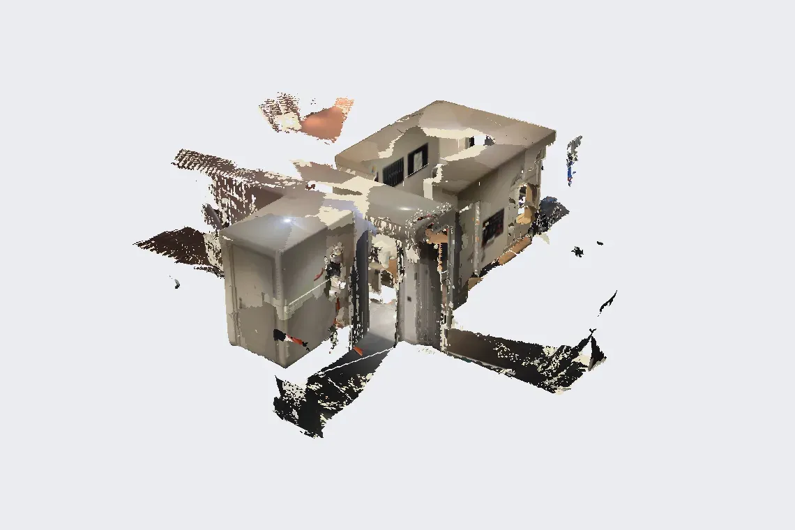
An old plan and the room in front of us do not always agree. Before planning a fit-out, we need a usable account of the existing space. A room scan can help us begin, provided we state what it is intended to support.
Set the capture brief
Record the rooms, openings and connections needed for the task. Keep photographs and notes for concealed or inaccessible areas. Check critical dimensions independently against the project’s survey requirements. A complete-looking model does not establish a measurement tolerance.
Apple’s RoomPlan uses the camera and LiDAR on supported iPhone and iPad devices to produce a parametric room representation. Its USD or USDZ output includes recognized components and dimensions. A parametric room model, textured mesh and point cloud carry different kinds of information.
Keep the reference understandable
- Preserve the original capture with its date and make a working copy.
- Check units, scale and orientation against known reference points.
- Record alignment or other transformations; distinguish measured elements from inferred ones.
- Open the export in the receiving application and inspect the result there.
In a small fit-out, this might mean separately checking a door width and marking a wall hidden behind a cupboard as uncertain. The next designer should not have to guess which part was observed.
Use the scan for the next decision
An exported file is useful when a colleague can open it and understand its limits. Keep the original, review notes and working model together as the design develops.
This is the sequence we also prioritize in SpaceCraft’s development: inspect the capture, identify gaps and check the file for its next task. Whatever tool records the room, these checks establish whether the reference is suitable for its intended use.