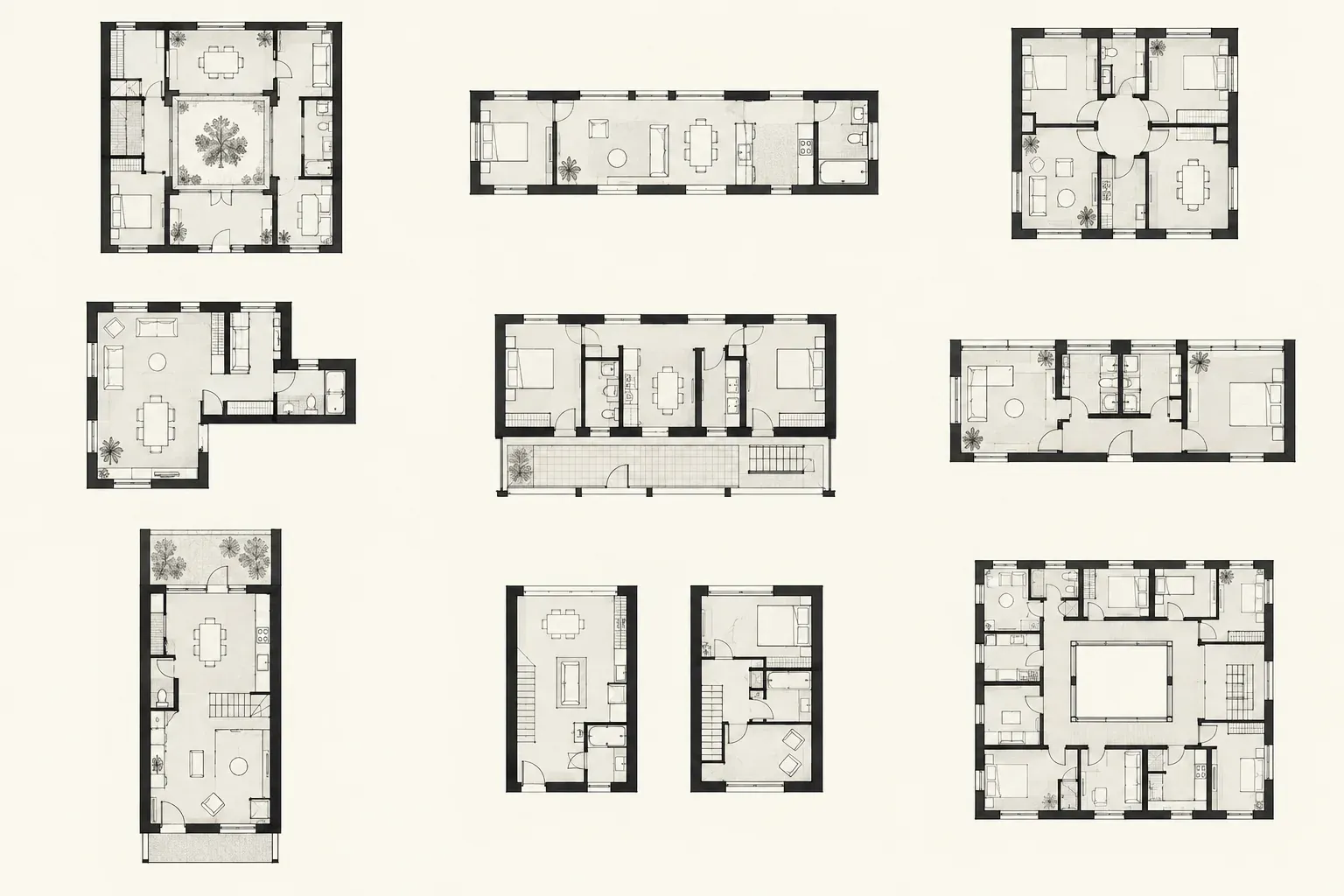
Housing Typology Atlas
What can the relationships inside a home tell us about the place it belongs to?
- Study period
- 2026
- Note updated
The research question
A city’s housing character may appear in the relationship between an entrance, a shared room and a private room as much as in its facade. We ask whether recurring spatial arrangements remain distinct across places after accounting for dwelling size, construction period and housing type.
The proposed atlas will compare plans through geometry, room connections and documented context. Its output will be families of arrangements, their variation and the cases they fail to explain. A collection of 50,000 homes is a possible scale for later work; the research starts with a smaller, checked sample rather than an assumed dataset.
Same outline, different relationships
Both homes have the same outline. Room 1 connects directly to rooms 2 and 3 in A; in B, reaching room 2 requires passing through room 3.
A schematic example made by Fraktal. The diagrams explain representations; they do not describe a real city or model result.
From plan classification to spatial knowledge
Stanislas Chaillou’s 2019 Harvard thesis separates plan style from program, connectivity and circulation. This distinction gives us a useful starting point: visual resemblance and spatial organization need separate representations.
MIT’s 2025 Geography of Indoors study examines more than 400,000 Airbnb images across 80 cities. It concerns interior appearance, while our question concerns plan configuration. ResPlan provides 17,000 vector plans and room graphs; its South Asian provenance and missing city identifiers make it a method-development resource rather than a regional comparison dataset.
Maket is a product reference for creating and editing home layouts alongside visualization. The atlas addresses a different question: how to describe relationships in existing plans and make that knowledge useful for architectural review. Generating a plan and explaining a regional pattern require different evaluations.
Aldo Rossi’s The Architecture of the City offers a theoretical counterpoint to reducing a building to its current function. For the atlas, this means keeping a plan family connected to its urban setting and history. A cluster of similar layouts can describe a recurring form; explaining why that form persists requires evidence beyond the plan.
Read the sources ↓Current work and the next experiment
- On this page
- Two authored plan arrangements and a proposed protocol for sampling, representation and comparison.
- Planned output
- A documented pilot corpus, checked room graphs, a versioned analysis and an atlas with uncertainty and counterexamples. No regional findings or trained Fraktal model are reported yet.
Building and testing the atlas
This is an experiment design. The pilot will establish annotation quality and feasible coverage before the corpus or model is expanded.
-
Define the sample
Record the provider, permitted use, building or project, place, period and housing type. Match comparable size and period groups across locations. Keep unverified attributes as unknown and report missing coverage; photographs and plan revisions do not each count as a new home.
-
Represent the space
Retain the source plan and metric scale where known. Trace rooms, boundaries and openings; distinguish shared-wall adjacency from access through a doorway. Calculate area ratios, graph depth from the entrance and connection patterns. Window access is a descriptor, not a daylight measurement.
-
Separate learning from evaluation
Group duplicates and revisions by building and project before splitting the corpus. Fit scaling, clustering and learned representations using only the training portion. Reserve buildings for testing and add checks on unseen districts or periods; report which context fields remain comparable.
-
Challenge the apparent character
Compare matched housing groups with the representations below. Remove text, logos and furniture from standardized plan views, then vary drawing style to test sensitivity. Preserve known orientation. Shuffle place labels within matched groups as a control for associations that arise by chance.
-
Inspect families and exceptions
Ask architectural reviewers to describe clusters without seeing city labels. Check whether the same families persist under resampling, alternative annotations and held-out buildings. Pair distributions with example plans and counterexamples; explanations of causes require separate historical and planning evidence.
Three representations, one corpus
The same held-out buildings will be used for each comparison. A pretrained visual encoder such as DINOv3 is a candidate baseline, not a proven housing classifier.
- Representation Geometry and graph
- Information retained
Area ratios, room program and doorway connections.
- Question tested
Can explicit spatial measures describe recurring arrangements?
- Representation Frozen visual encoder
- Information retained
Standardized plan images; the encoder weights stay fixed.
- Question tested
Does image similarity capture useful structure or mainly drawing conventions?
- Representation Combined representation
- Information retained
The same spatial measures and visual features together.
- Question tested
Does visual information add stable distinctions beyond the interpretable baseline?
What would make the atlas useful?
- Stable families
- Report changes in cluster membership under resampling and held-out evaluation, alongside reviewer agreement and disagreement.
- Regional association
- Compare distributions within matched size, period and housing groups. Report uncertainty and within-city variation; city recognition alone does not explain causation.
- Reliable annotation
- Review room boundaries and doorway connections against the source. Record missing metadata, failed extraction and corrections before interpreting model results.
- Architectural value
- Ask whether another architect can find a relevant precedent and explain its spatial relationships using the atlas. Record misleading matches as well as useful ones.
What remains open
- A plan records an arrangement, not the occupants’ habits or an inevitable social outcome. Graph depth is a spatial descriptor, not a direct measure of privacy.
- An online listing corpus can overrepresent particular markets, periods and providers. More samples do not automatically remove that selection bias.
- A regional association cannot by itself distinguish the effects of climate, parcel structure, regulation or housing economics.
- The pilot dataset, annotation review and model comparison remain to be carried out.
A pilot atlas that others can inspect
The first output will combine a source register, annotation guide, grouped data split and reproducible comparison. Each family will include examples, exceptions and uncertainty. If the proposed distinctions do not survive the controls, that negative finding will guide the next question.
- A later experiment could retrieve relevant precedents for a design brief. Whether this improves a revision belongs to a separate test.
Sources and method notes
- Stanislas Chaillou, AI & Architecture (2019) ↗
Author’s thesis synopsis. Motivates separate treatment of plan style, program and connectivity; it does not establish our regional hypothesis.
- Mazzarello et al., A Geography of Indoors (2025) ↗
Primary study of geographic patterns in interior images. A precedent for the question, with a different data unit and sampling context.
- Abouagour and Garyfallidis, ResPlan (2025; revised 2026) ↗
Vector geometry and typed room relationships inform the proposed representation. Use the release’s edge definitions when comparing graphs.
- ResPlan dataset documentation ↗
Documents provenance and metadata boundaries. It cannot supply city labels for an Istanbul–Barcelona comparison.
- Siméoni et al., DINOv3 (2025) ↗
Candidate frozen visual representation. General vision results do not establish architectural or regional performance.
- Maket: planning and visualization product ↗
Primary source for the product scope; not evidence for the atlas’s regional hypothesis.
- Aldo Rossi, The Architecture of the City ↗
MIT Press English edition and account of the book’s critique of functionalism and study of urban form. A theoretical reference for interpreting typology in context.